Environment & Conservation Services
Diver-free underwater surveys for decision-grade environmental data
Protecting aquatic habitats requires precise, traceable data—collected with minimal disturbance. Many key processes occur below the surface and are difficult to capture using conventional methods, especially in sensitive ecosystems.
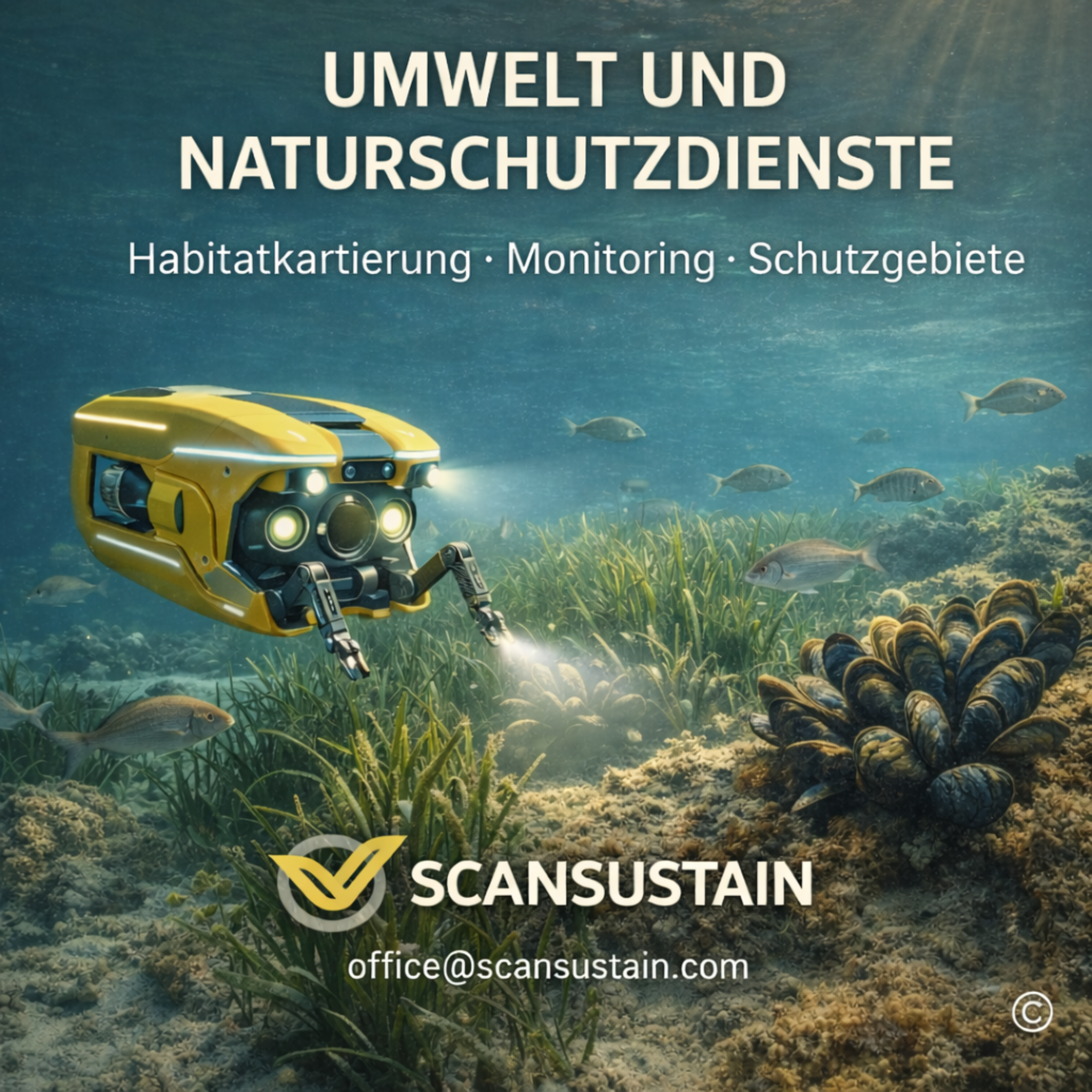
SCANSUSTAIN delivers diver-free, ROV-assisted underwater surveys for environmental and conservation projects. Our workflows provide non-invasive data acquisition and create robust foundations for assessment, planning and long-term monitoring.
Why diver-free surveys for environment & conservation?
Diver operations in sensitive habitats often come with constraints—safety, visibility, depth and ecological impact. Diver-free inspection methods offer clear advantages:
- minimal disturbance to flora and fauna
- repeatable, comparable datasets across campaigns
- deployments in low-visibility and greater depths
- objective documentation independent of subjective perception
ROVs (Remotely Operated Vehicles) allow controlled, precise and repeatable acquisition—without physically entering the habitat.
Our services for environmental projects
Habitat mapping
We support systematic mapping of underwater habitats in lakes, rivers and impoundments. High-resolution video, navigation and optional sonar enable structured documentation of vegetation zones, substrates and structural types.
Deliverables support:
- ecological baseline surveys
- planning and permitting workflows
- multi-year comparison studies
Sediment & seabed observation
Sediment transport and seabed changes strongly influence ecology, water quality and habitats. We perform diver-free sediment/seabed observations to make changes visible and traceable.
Typical use cases:
- monitoring fine sediment deposition
- observing erosion and relocation processes
- baseline/monitoring alongside hydraulic engineering works
Control of protected & restricted zones
Protected areas, spawning grounds and sensitive underwater zones require regular inspection. We provide documented checks without entering or disturbing the area.
Data capture is non-contact, position-aware and supported by clear visual/technical documentation—ensuring transparency for authorities, planners and stakeholders.
Documentation & reporting
A key part of our service is structured data packaging. SCANSUSTAIN delivers:
- video and still-image documentation
- position-referenced datasets where feasible
- structured reports for environmental planning and authorities
The outputs are traceable, comparable and reusable—ideal for monitoring programmes and recurring campaigns.
Application areas
We support, among others:
- lakes and reservoirs
- rivers and channels
- protected areas and Natura 2000 sites
- baseline studies for construction/rehabilitation projects
- long-term ecological monitoring
SCANSUSTAIN – Data builds understanding. Understanding enables protection.
Our diver-free underwater surveys combine engineering-grade documentation with a responsible approach to sensitive habitats—supporting sound, data-driven decisions in environmental management.
Contact
Planning a habitat mapping or monitoring programme? Need documented underwater data for permitting or stakeholders? We support you pragmatically and reliably.
Get in touch