ROV‑assisted underwater inspections
Safe · documented · repeatable
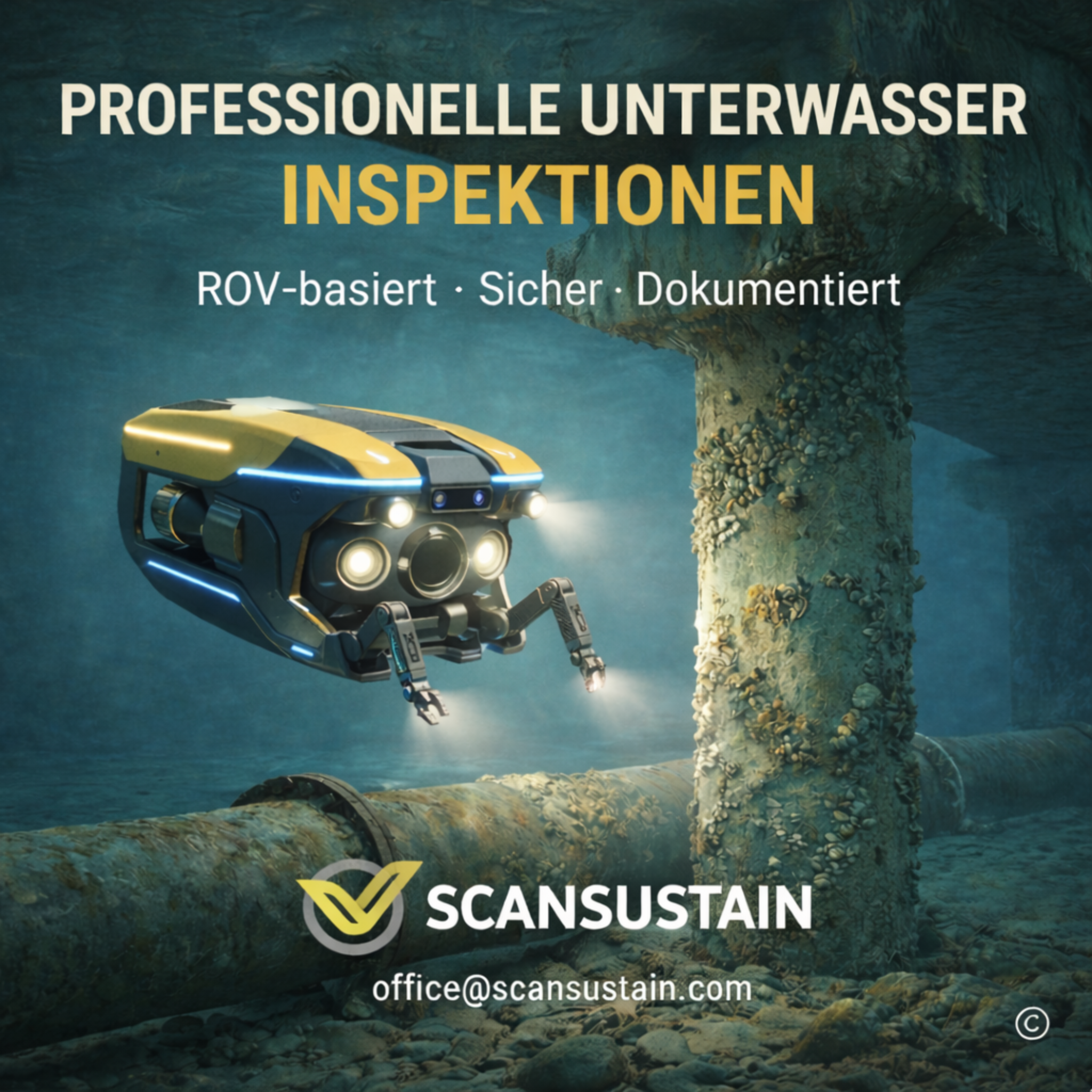
What appears stable above water may already be compromised below the surface. This is exactly where our ROV‑assisted underwater inspections add value: we deliver reliable visual and sensor data so operators, planners, and maintenance teams can make well‑founded decisions based on traceable documentation.
Intro
Many defects develop where they are difficult to see—below the waterline, in confined areas, or under limited visibility. With ROV‑based inspections we create transparency in existing assets—efficiently, safely, and with repeatable results.
Why ROV (diver‑free)?
Diver‑free workflows reduce risk, are reliably schedulable, and enable standardized data capture. Even in low visibility or complex geometries, we deliver usable results using appropriate lighting, camera systems, and optional sonar—without the typical operational limits of diver‑led inspections.
Deliverables
- High‑resolution video and still images for visual condition assessment
- Optional sonar records for limited‑visibility areas or to complement geometry/structural information
- Structured documentation (e.g., location/time reference, tagged findings, annotated screenshots, clear results overview)
All deliverables are prepared so they can be used directly for internal reviews, authority/stakeholder communication, and further planning.
Typical applications
- Port facilities, quay edges and sheet‑pile walls
- Bridge and shoreline structures
- Dams and hydraulic engineering structures
- Industrial basins and built‑in components
- Pipelines, outlets, intakes and submerged components
The objective is always the same: capture condition, detect deviations early, and derive actions.
Workflow
- Brief alignment: objectives, scope, boundary conditions (visibility, depth, current, access)
- Mission planning: methodology, sensor setup, safety and logistics concept
- Execution: ROV inspection with documented data capture
- Delivery: clearly structured data package and traceable report
- Optional: support with interpretation and next steps (prioritization, action planning)
Contact
Need an underwater area inspected or documented data for a decision? Contact us—we advise pragmatically and solution‑oriented.
Get in touch